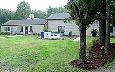
GE Betz Science Center
at Ockanickon Scout Reservation

Pipersville, PA 18947

 GE Betz Science Center at Ockanickon Scout Reservation  Pipersville, PA 18947 |
 |
|
Two New Images: |
Science Center News:
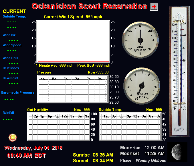
Our weather station is powered by a state of the art Rainwise MK-III
wireless weather system.
Visit the Friends of Ockanickon Science Center page to
support the Science Center.
New FEATURES added to this page: 4-Part Forecast and Weather Maps and Time Lapse Video!
For information about our WebCams and how they work, visit our WebCam FAQ page.
The Science Center announces its OBSERVATORY project.
Visit the Friends of Ockanickon Science Center page to find out more.
Current Weather from the Science Center can be viewed on your web-enabled cell phone.
Click HERE for instructions on how to
access the Science Center's WAP WML site.
See pictures of the "Space Wing" addition taking shape (2001) 

Current Weather Conditions
Updated Every 5 Minutes
(You may need to use your browser's REFRESH button to see
the latest update)


| The Mixed Surface Analysis map is a virtual comprehensive analysis of current conditions and fronts at ground level using radar and infrared satellite imagery. The Surface Analysis loop animation shows sequential maps at 3 hour intervals for the past 18 hours. A surface weather analysis is a special type of weather map providing a view of weather elements from ground-based weather stations over a geographical area. Weather maps are created by plotting or tracing weather information such as sea level pressure, temperature and cloud cover onto a geographical map to find features such as weather fronts. |

|
|
|
|
|
|
|
